

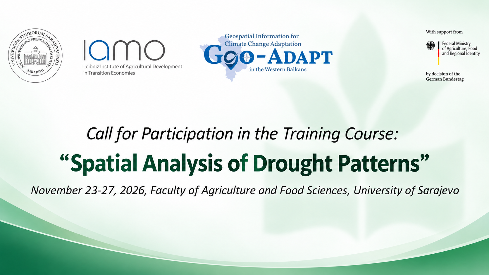
The University of Sarajevo – Faculty of Agriculture and Food Sciences (UNSA-PPF) and the Leibniz Institute of Agricultural Development in Transition Economies (IAMO) invite interested candidates to apply for the training course “Spatial Analysis of Drought Patterns”, which will take place from 23 to 27 November 2026 at UNSA-PPF in Sarajevo, Bosnia and Herzegovina.
Reliable climate and satellite data are essential for the timely identification of drought, assessment of its intensity and spatial distribution, and planning of measures to mitigate its impacts on agriculture and natural resources. This training course provides an excellent opportunity to develop practical skills and strengthen capacities for data-driven decision-making.
During the five-day course, participants will learn about:
the fundamentals of drought monitoring and analysis;
accessing open climate and satellite data;
analysing spatial drought patterns using QGIS, R and Google Earth Engine;
developing basic interactive online maps using Leaflet and R Shiny.
The course is open to students, lecturers, researchers and professionals in agriculture, forestry and related fields who study or work in the Western Balkans and are interested in spatial data analysis and climate change adaptation. The course will be delivered in English, and participants are required to bring their own laptops. Previous experience with Geographic Information Systems is considered an advantage.
Participation is free of charge. Lump-sum travel grants are available for selected participants travelling from outside Canton Sarajevo and from other Western Balkan countries. Participants who successfully complete the course will receive a certificate issued by UNSA-PPF and IAMO.
Applicants should submit their CV and motivation letter in English by 6 November 2026. Applicants residing in Bosnia and Herzegovina should send their documents to:
The number of places is limited, and interested candidates are encouraged to apply as soon as possible.
Further details on eligibility and travel grants are available in the attached course announcement.
The course is organized within the project GEO-ADAPT – Geospatial Information for Climate Change Adaptation in the Western Balkans, funded by the German Federal Ministry of Agriculture, Food and Regional Identity. The project supports the development of technical capacities for managing and analysing geospatial data in agriculture, forestry and natural resource management, with a particular focus on climate change adaptation and support for the EU accession process of the Western Balkan countries.
More information: View PDF Document – Call for Applications for the Training